Up until the completion of Bonneville Dam in 1938, a ghostly white forest of drowned tree stumps could be observed along both sides of the Columbia River between Cascade Locks and The Dalles. The submerged forest was first mentioned in a geologic textbook in 1853, in “Principles of Geology” by Sir Charles Lyell
“Thus Captains Clark and Lewis found, about the year 1807 (sic), a forest of pines standing erect under water in the body of the Columbia RIver, which they supposed, from the appearance of the trees, to have been submerged only about twenty years.”
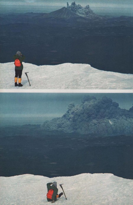
Both Lewis and Clark in 1805 and Captain Fremont in 1845 recognized that the trees were drowned by the formation of a lake behind a 200-foot landslide dam.
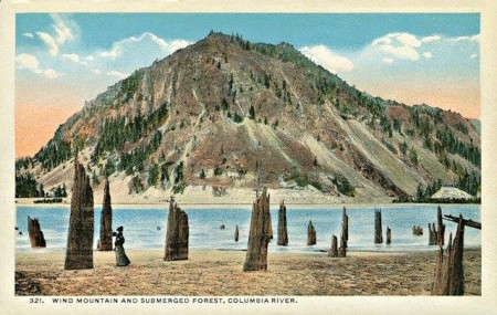
Penny Postcard, ca.1920s, “Wind Mountain and Submerged Forest, Columbia River”.
Possibly triggered by an earthquake, the dam material slid down from the cliffs of Table Mountain and Greenleaf Peak at a time later determined to be between 1260 and 1290 A.D. The stumps were described in detail by Minnesota biologists Donald B. and Elizabeth G. Lawrence in a series of definitive papers in 1935, 1937, 1937, and 1958. The Lawrences were the first to date the time of the landslide, by caron 14 analyses, as having occurred 700 years before. As of 1936, the Lawrence’s counted 3,068 stumps on the south side of the river, and 938 on the north side of the river. The maximum concentration of stumps on the south side occurs just above the mouth of Viento Creek, where more than 800 stumps were counted within a small area.
Source: John Allen, Professor of Geology at Portland State University, 1985, “Time Travel in Oregon”.
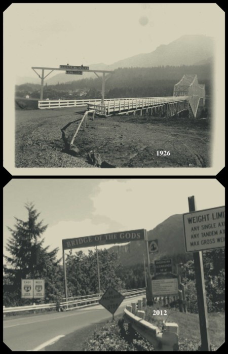
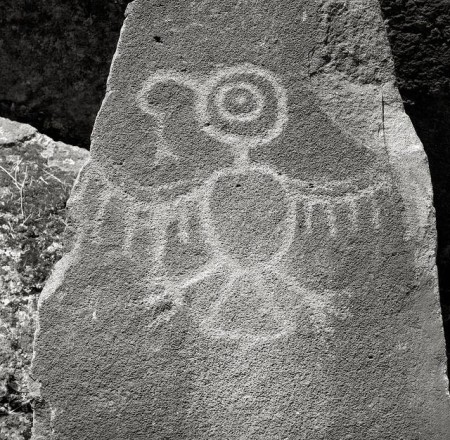
 Growing up, I could see Wind Mountain directly from my bedroom window. I would get lost in daydream, which is a pretty common occurrence for me, and wonder how my ancestors revered and interacted with this landscape. What was it about this mountain that made it holy or sacred? Was it because of it’s stand alone features in the middle of the Cascade Mountain range? Was is it because of the sacred mineral waters that bubbled and boiled in her shadows? Or, was it because it could have been where the actual land bridge, known as the Bridge of the Gods, could have crossed the mighty river? – And Who had the first Vision on her lofty peak? Was it Coyote?
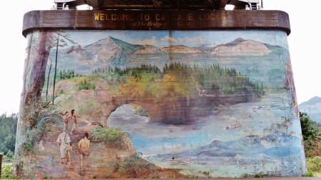